Resources
Building on previous vacant land efforts.
CLEVLOT will be built on many years' worth of community engagement, planning, scholarship, and tool development. This effort has been led by our project partners along with many other organizations and individuals working at the neighborhood, city, county, and national levels. The following reports, plans, and maps represent the countless hours already dedicated to vacant land reuse in Cleveland, and will serve as a robust foundation for CLEVLOT to build from.

Initiatives
-
Purpose:
To cultivate sustainable neighborhoods of choice where residents are engaged, empowered, enlightened, resilient and self-reliant.
Learn more:
SustainableCleveland.org
Contact:
Marka Fields | Mfields@city.cleveland.oh.us
Brett Joseph | Bjoseph59@gmail.com -
Purpose:
The Cleveland Parks + Greenspace Coalition integrates residents, practitioners, funders, and public agency partners to ensure accessible, beautiful, culturally relevant greenspaces are enhancing the lives and health of all Clevelanders.
Learn more:
ParksCoalitionCLE.org
Contact:
parkscoalitioncle@gmail.com -
Purpose:
Create connections amongst residents who care about parks and greenspace in Cleveland, identify issues and strategize solutions, understand existing systems in Cleveland and determine opportunities for residents to influence how new systems are created and designed.
Learn more:
NeighborhupCLE.org/public-space-innovation-team/Contact:
anastaziav@neighborhoodgrants.org -
Purpose:
Our mission is to utilize fresh local food as a tool to empower, educate, and cultivate health in communities across our region.Learn more:
Foodstrong.orgContact:
info@foodstrong.org
Environmental Justice Story Map
Cleve[landscape] Conceptualizing Equity through Public Space in Cleveland
Cleve[landscape] aims to highlight the potential opportunities for equity and environmental justice initiatives in Cleveland, Ohio. This project endeavors to inspire bold action—public, private, local, state, and federal—to address environmental injustice and improve the lives of residents living in marginalized communities in Cleveland. The following Story Map was created by 10 graduate landscape architecture students from Cornell University in Fall 2022.
Reports and Plans
-
Re-imagining Cleveland Vacant Land Study 2008
This report summarizes the goals, principles and strategies for returning vacant properties to productive use at the city-wide scale. It identifies policy changes that will enable the city to better make use of this growing resource. The report also includes a range of potential pilot projects meant to illustrate and test the principles, and to build capacity for the strategic management of vacant land throughout the city
-

Re-imagining Cleveland Vacant Land Re-Use Pattern Book 2009
This pattern book is a companion to the ReImagining Cleveland plan and recommendations for vacant land reuse that were adopted by the Cleveland City Planning Commission in December 2008. This book is intended to provide inspiration, guidance and resources for community groups and individuals who want to create productive benefit from vacant land in their neighborhood and begin to restore Cleveland’s ecosystem.
-

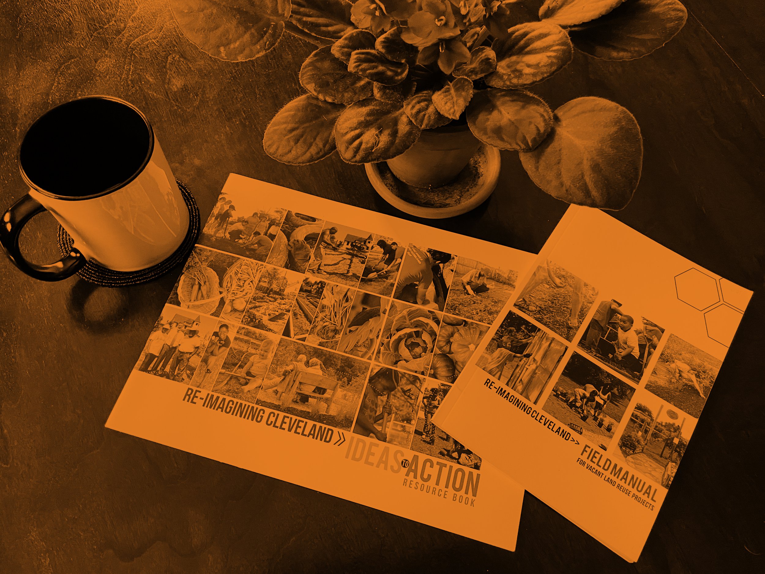
Re-imagining Cleveland Ideas to Action Resource Book 2011
The purpose of this book is twofold: 1.) To put ideas and helpful information into the hands of people who can and will change the city for the better, and 2.) To introduce you to some local heroes who are leading the way—greening, gardening, and growing produce all over the city.
-
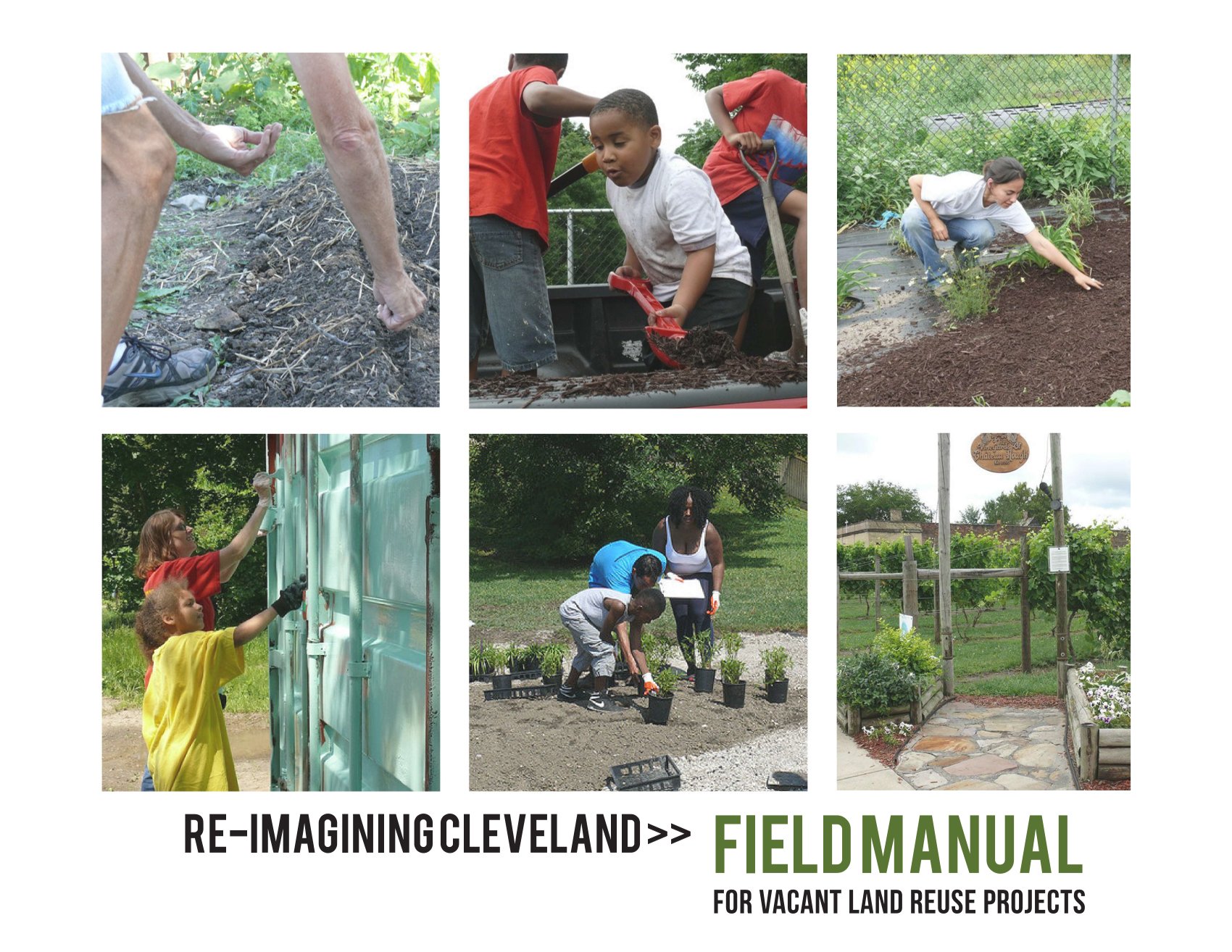
Re-imagining Cleveland Field Manual
This manual includes information about many aspects of urban gardening and green space maintenance. The manual also collects wisdom from the field—advice and feedback from Re-imagining grantees reflecting on their vacant lot reuse projects.
-

Cleveland Spaces Vital Places
A program hosted and organized by the Sustainable Cleveland Vital Neighborhoods Working Group. Cleveland Spaces Vital Places is a series of seven (7) workshops designed to inform residents about resources and practices needed to revitalize vacant lots in their community.
-

8 Ideas for Vacant Land Reuse
This document highlights eight big ideas for the sustainable and productive re-use of the increasing supply of vacant land in Cleveland and Cuyahoga County. These ideas are guided by the themes of improving Community, Prosperity, and Public Health. More specifically, the document identifies “issues” and “opportunities” and then “keys to moving forward” for each of the land use and treatment types, while presenting a map and criteria to guide the placement and targeting of these uses on an interim basis and on a long-term basis.
-
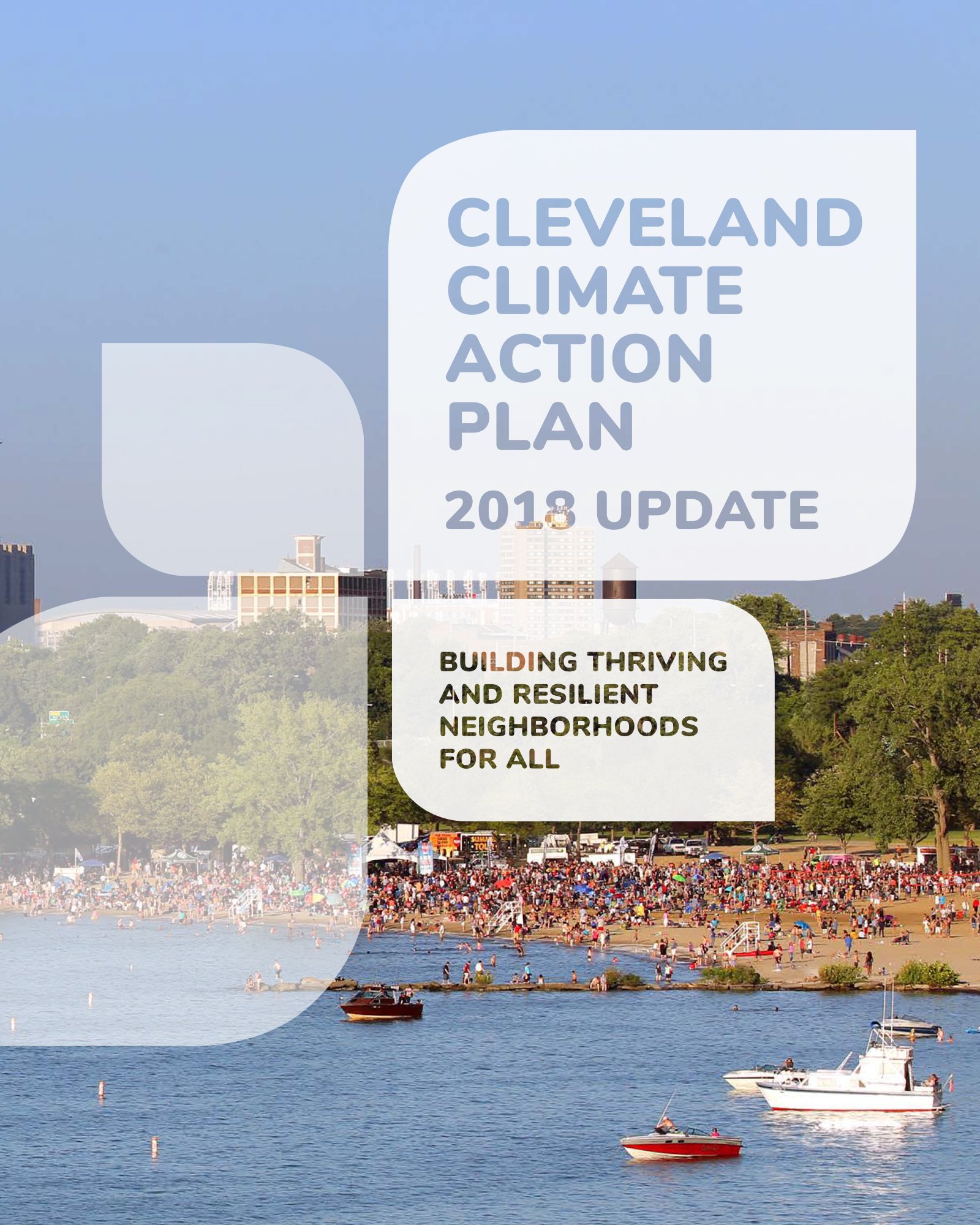
Cleveland Climate Action Plan
At the heart of climate action in Cleveland is building thriving and resilient neighborhoods throughout the city. The 2013 Cleveland Climate Action Plan established an overarching greenhouse gas (GHG) reduction goal of 80% below 2010 emissions by 2050, with interim goals of 16% reduction by 2020 and 40% reduction by 2030. These goals are designed to be bold yet achievable. This updated plan retains those goals, while elevating the actions neighborhoods and residents can take every day.
-

BBC Neighborhood Plans
Burten, Bell, Carr Development, Inc. engages neighborhood residents and stakeholders in planning for future development in their communities. Read the report documents for the Kinsman & Central Neighborhood Plan, Kinsman Road Multi-Modal Study, Target Area Plan, and Ward 5 Master Plan.
-
Cleveland Tree Plan 2015
Cleveland is in the midst of city-wide neighborhood revitalization to improve the quality of life for all citizens, as well as to address the future challenges that come with redevelopment, a new economy, and climate change. Trees are an important component of all these efforts, yet the city is losing significant tree canopy every year. The Cleveland Tree Plan assesses Cleveland’s current urban forest and lays out a roadmap to rebuild.
-
Cleveland Tree Plan Update 2020
The Cleveland Tree Plan is a community-wide collaboration to rebuild the urban forest through partnership. In addition to the Plan, resources were provided in the form of several appendices that provide expert guidance on tree species selection, planting with a purpose, and more.
-

50 Actions to Elevate The East
Elevate the East is a community-led public art planning process for neighborhoods on Cleveland's Eastside. This public art plan prioritizes funding for meaningful art projects that improve buildings and streets, reflecting the culture and vibrancy of the community. Public art is one component in a larger transformation strategy to benefit all people living in the area.
-

Union Miles Neighborhood Master Plan Priorities
In the spring of 2018, Union Miles Development Corporation (UMDC) held a community forum to develop a master plan vision for the neighborhood. This report summarizes resident input on eleven priority projects for the neighborhood, while also providing plans, drawings, and case study examples to help move each effort forward.
-

Cleveland Climate Resilience & Urban Opportunity Plan 2015
Cleveland Neighborhood Progress, the Cleveland Urban Design Collaborative, and the University at Buffalo worked with a broad range of community stakeholders to complete this plan. The proposed projects, programs, policies, engagement strategies, and research recommended in the plan will help to lessen overall demand for energy, anticipate and prepare for climate changes, and foster social cohesion. The plan includes a detailed assessment of the anticipated effects of climate change in the Midwest, along with mapping and analysis of Cleveland’s most vulnerable neighborhoods.
-

CMSD Safe Routes to School Travel Plan 2016
A School Travel Plan (STP) is a requirement for funding requests through the ODOT SRTS program. An STP is the written document that outlines a community’s intentions for enabling students to engage in active transportation (i.e. walking or bicycling) as they travel to and from school.
-

Seeing Green | Green Infrastructure Maintenance Training & Development Opportunities in Northeast Ohio 2013
It is with an eye toward preparing the Greater Cleveland market for green infrastructure maintenance that this report was undertaken. The intention of this report is to be a conversation starter for developing both a green infrastructure maintenance training program and a workforce development program using green infrastructure as an on-ramp to an articulated career pathway for targeted populations.
-
Circular Cleveland
The City of Cleveland’s Circular Economy Roadmap paints a picture full of circular economy opportunities for the city’s inhabitants that will not only result in economic benefits, but significant environmental and social benefits as well. These include cleaner air and water, new community assets such as housing and green spaces, reduced waste and associated disposal costs, and new job opportunities.
GIS Maps
-

Cuyahoga Land Bank Inventory
-
Cleveland Land Bank Inventory Map
-

Cleveland Lots - Side Yard Expansion Map
-

Cleveland Zoning Viewer
-

Cuyahoga County Greenprint Viewer
This mapping tool provides insights into various aspects of Cuyahoga County's green infrastructure and its interaction with the built environment.
-

Cuyahoga County Web Mapping Application
-

Re-Imagining Cleveland Project Finder
This tool allows you to explore 152 Re-Imagining Cleveland Projects by name, tracking #, type, and neighborhood.
-

Summer Sprout Gardens
Cleveland’s Community Gardening program, Summer Sprout, has been in existence since 1976. The City of Cleveland and Ohio State University Extension, Cuyahoga County (OSUECC) partnered in 1977 and continue to work together to make the program a success.
-
Trust for Public Land - Climate Smart Cities Cleveland
-

Trust for Public Land - ParkServe
-

US EPA Environmental Justice Screening and Mapping Tool
-
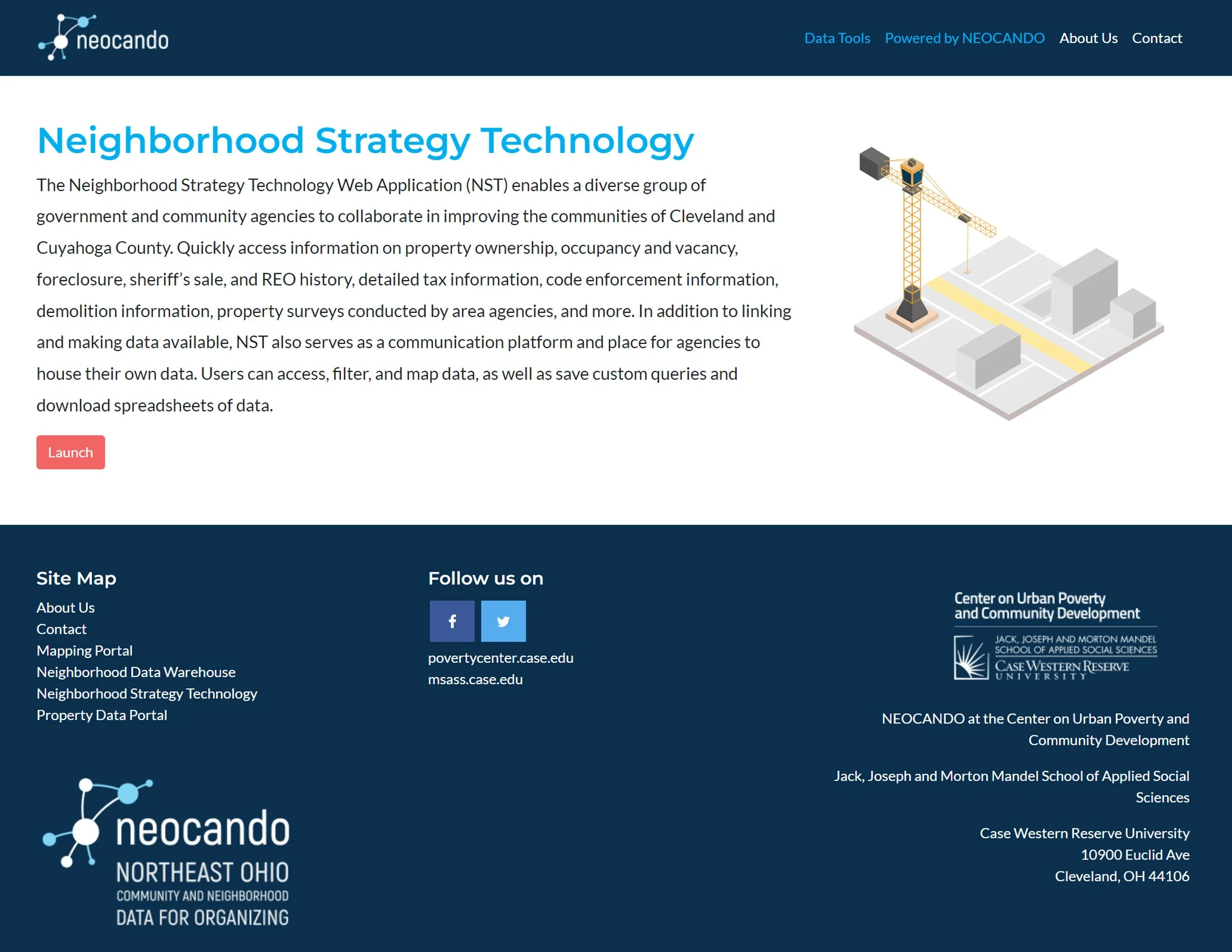
NEOCANDO - Neighborhood Strategy Technology Web Application (NST)
-

Cuyahoga County - Climate Change Vulnerability Assessment Map
-

Ohio Opportunity Index
